
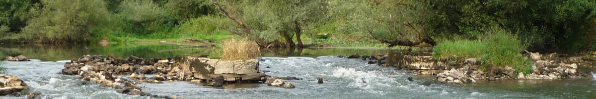
If you're looking for nature, you've come to the right place !
Our hiking maps are available in print, but you can
also use Komoot, among other tools, for navigation.
 |
Walks Short or longer walks, below you will find some beautiful walks starting at our campsite More information: | ||||
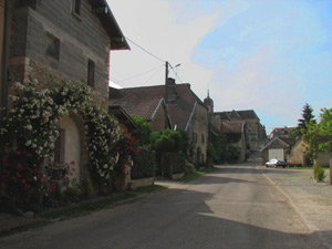 |
Hiking trip 2,2 km / 0h30 tour of Cromary (The green walk in our brochure) Stroll through the village of Cromary and discover several charming spots. | ||||
(to be able to open with your own navigation app) | |||||
 |
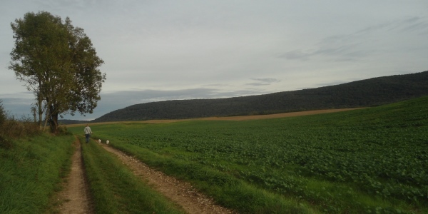
Hiking trip 4,5 km / 0h55 through nature (The blue walk in our brochure) This walk goes through the fields and along a part of the 'voie verte'. Via the light yellow house you return to the campsite along the D412. | ||||
(to be able to open with your own navigation app) | |||||
 |
Hiking trip 4,9 km / 1h10 (The red walk in our brochure) This walk goes partly through fields and partly through a forest. You'll pass a farm to return to the campsite via the Route de Palise. | ||||
(to be able to open with your own navigation app) | |||||
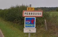 |
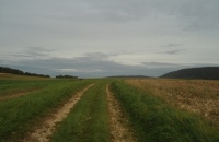
Hiking trip 5,8 km / 1h25 Cromary – Perrouse – Cromary (The orange walk in our brochure) Walk through the fields to the village of Perrouse and then take the D31 back to the village of Cromary. | ||||
(to be able to open with your own navigation app) | |||||
 |
Hiking trip 7,6 km / 1h45 Moncey - Palise (The yellow walk in our brochure) Walk along the Voie Verte to Moncey and then walk along the river to Palise. You walk back to the campsite via the Route de Palise. | ||||
(to be able to open with your own navigation app) | |||||
 |
Hiking trip 12,3 km / 3h10 Aulx-lès-Cromary, Moncey, Venise Partly by road, partly through the fields. | ||||
(to be able to open with your own navigation app) | |||||
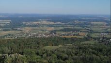 |
Hiking trip 16 km / 5h to the Fort de la Dame Blanche A tough walk along fields and through forests, with quite a few meters of elevation. From the Fort de la Dame Blanche you have a beautiful view of the valley. | ||||
(to be able to open with your own navigation app) | |||||
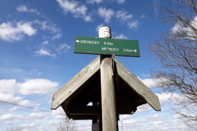 |
Hiking trip or cycling tour via the 'Voie Verte' to Devecey or to Moncey You can walk to both Moncey and Devecey via an old train track. In dry weather, the route is also perfect for cycling. There is also a cycle route to the supermarket SuperU in Devecey via this Voie Verte. | ||||
(to be able to open with your own navigation app) | |||||
This file was found using one of the keywords: walk, walking, hike, hiking, walks, walking route, walking routes, short walk, trek, run, runs, loop, walking map, walking maps, Komoot, nature, village, geocaching, marching.